Shaping K-12 Learning Experiences with Online Mapping Activities
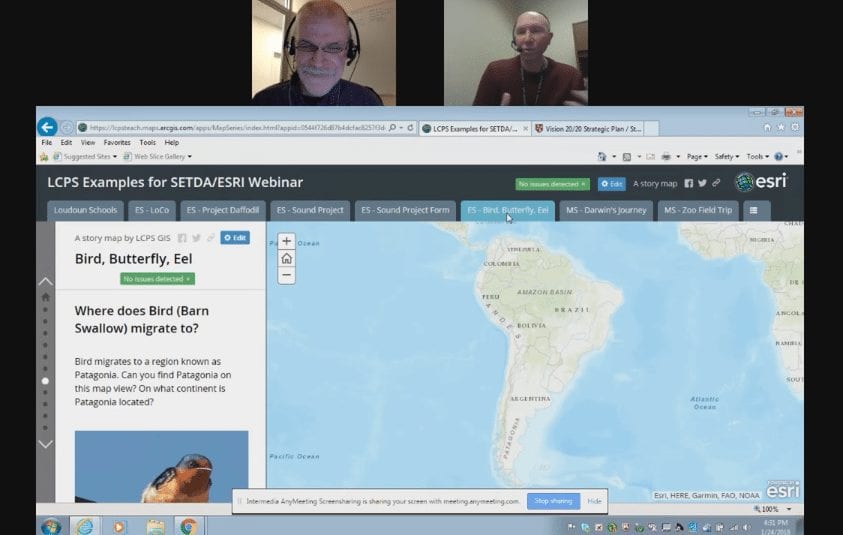
Maps tell stories, explain, illuminate, and inspire. Students of all ages and across subject areas can benefit from using interactive maps to gather, analyze and interpret data, and gain insight into our world. In “How Online Mapping Activities Shape Learning Experiences for K-12 Students,” Charlie Fitzpatrick, K12 Manager at Esri; and Mike Wagner, Teacher at Loudoun County Public Schools in Virginia, shared how online mapping can shape learning experiences for K-12 learners.
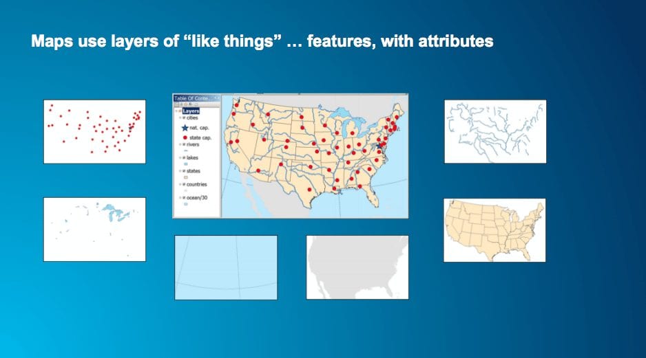
Pulling apart a map, we can see they are composed of individual layers of like things, such as cities, lakes, landmasses, and states. The world around us can also be seen as a series of layers covering a range of scales-from neighborhoods to entire countries-which can be mapped and explored in detail online. Schools can use these online mapping systems to teach powerful classroom content spanning across subjects and grade levels, and they can get started with free resources for online mapping activities from esri.com/schools.
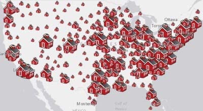
Elementary students can participate with activities that track and map noise levels across schools, or predict and study migration patterns of animals. Middle and high school students can engage using exercises to explore Darwin’s observations on the Galapagos islands, or learn more about the battles fought during the Civil War. Entire schools can even collaborate with activities that map the county-wide progress of flower bulbs, and work together to find correlations in the data. At any grade, mapping activities can get students to think more critically, and make decisions based on evidence.
Science and social studies teachers may be the first to use online mapping technology, but there is plenty of opportunity for teachers of other subjects to get involved. Language instructors may work with data about the areas that speak that particular language, or even look at content in that language. Math teachers can find real world examples about challenging math concepts for their students, or perform analysis with data. English students can bring their reading to life by creating detailed maps for locations and characters from a book.
“Think about the places that you can go, the things that you can learn, by getting students to be working with data in a map,” Fitzpatrick said. Maps can be used to learn standard content, work on group projects, or conduct research projects, and do not have to be limited to an age or subject. Ultimately, mapping exercises can improve students’ abilities to think critically, communicate, collaborate, create, and contribute.
This broadcast was hosted by edWeb.net and SETDA.
This article was modified and published by EdScoop.
About the Presenters
Charlie Fitzpatrick is a K12 education manager for Esri, maker of geographic information system (GIS) software. Charlie works with students, teachers, local and state education coordinators, teacher educators, and education influencers across USA. He supports Esri’s offer of free GIS software and learning resources to every K12 school and formal youth club for instructional use. Before joining Esri in 1992, Charlie taught social studies in grades 7-12 (mostly 8th grade geography) for 15 years in Minnesota, and helped educators of all levels teach with computers. From the National Council for Geographic Education, Charlie received the Distinguished Teacher Award (1991) and George J. Miller Lifetime Achievement Award (2016). When not carrying the message out on the road, he resides in Arlington, Virginia.
Mike Wagner is the GIS teacher lead for Loudoun County Public Schools, and in-class GIS teacher at Heritage High School in Loudoun County, VA. Mike has been teaching GIS as a project-based course since 2005, as part of the Virginia Geospatial Semester, a dual enrollment program
Join the Community
Essential Elements for Digital Content is a free professional learning community that provides policy makers, school administrators and educator leaders a better understanding of policies and practices related to digital instructional materials.


Comments are closed.