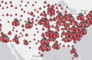
Maps tell stories, explain, illuminate, and inspire. Students of all ages and across subject areas can benefit from using interactive maps to gather, analyze and interpret data, and gain insight into our world. In “How Online Mapping Activities Shape Learning Experiences for K-12 Students,” Charlie Fitzpatrick, K12 Manager at Esri; and Mike Wagner, Teacher at Loudoun County Public Schools in Virginia, shared how online mapping can shape learning experiences for K-12 learners.
post-icon
In this edWebinar, see why it’s good for all students to know GIS, how to start with easy-to-use online resources, and how to get free software.


